
← All updates
GIS Project Tracking
Track progress on a map of your project's GIS design.
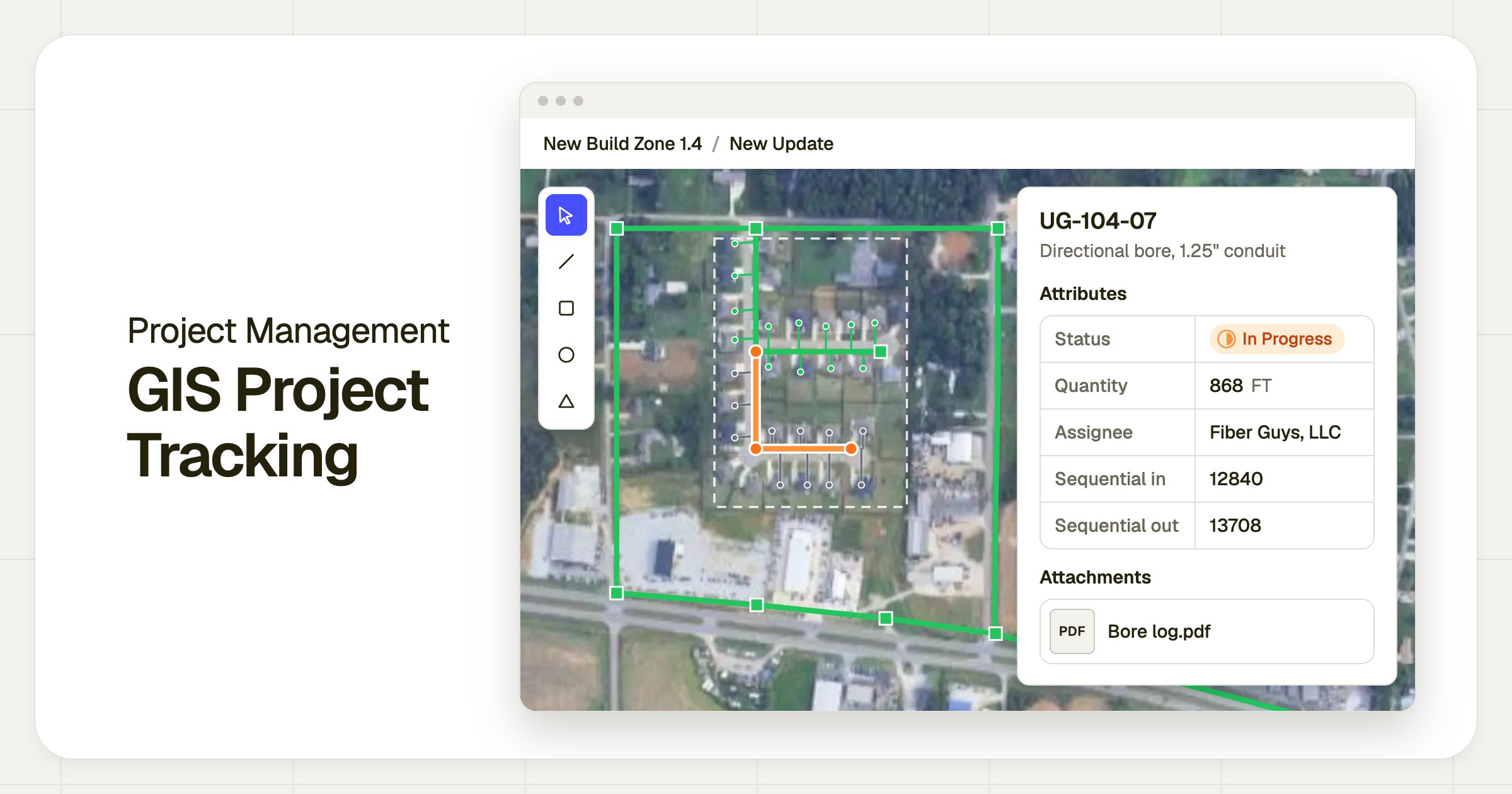
One of our most asked-for features, you can now track project progress on a GIS map in Clad.
Until now, the only way to collect redlines in Clad has been through PDFs, with crews drawing redlines and as-builts on top of a document. We know that using GIS as the base map can often be more accurate, so we built this for the contractors and asset owners that prefer to use it.
This comes with a number of new features including:
- Flexible import - We’ll import the GIS design and map it to your Clad line items, so marking up the map and tracking production is simple.
- Mark up a map - GIS geometry can be assigned to different people or subcontractors, and they can change the status of the task, enter production, or other information (photos, bore logs) directly on the map.
- Connected production tracking - Similar to our PDF workflow, crews can then confirm production and complete a full daily update.
GIS project tracking is in early access. Contact us to set it up on your projects.